An easy walk of 10k – about 2.5 hours (with photo stops)
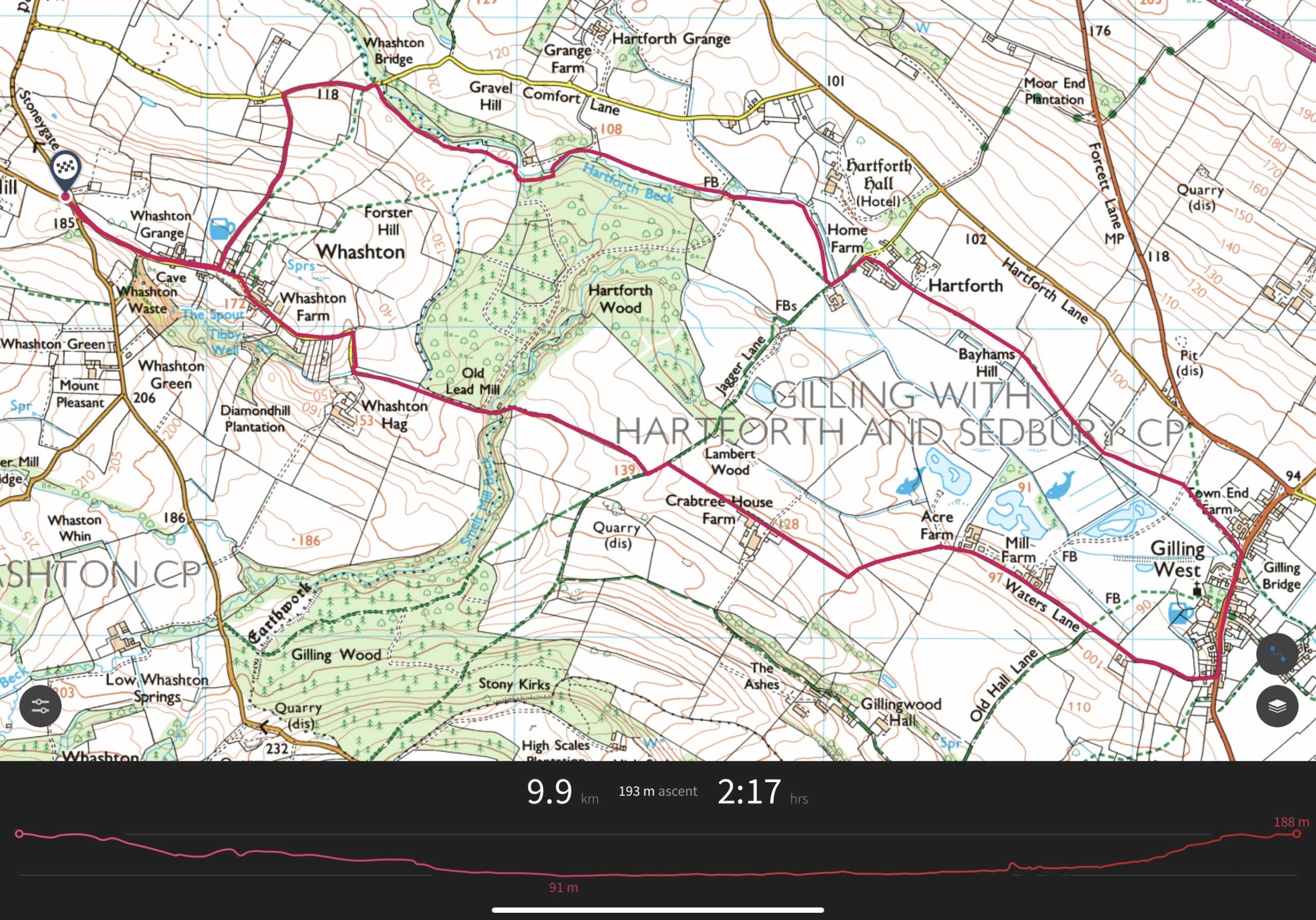
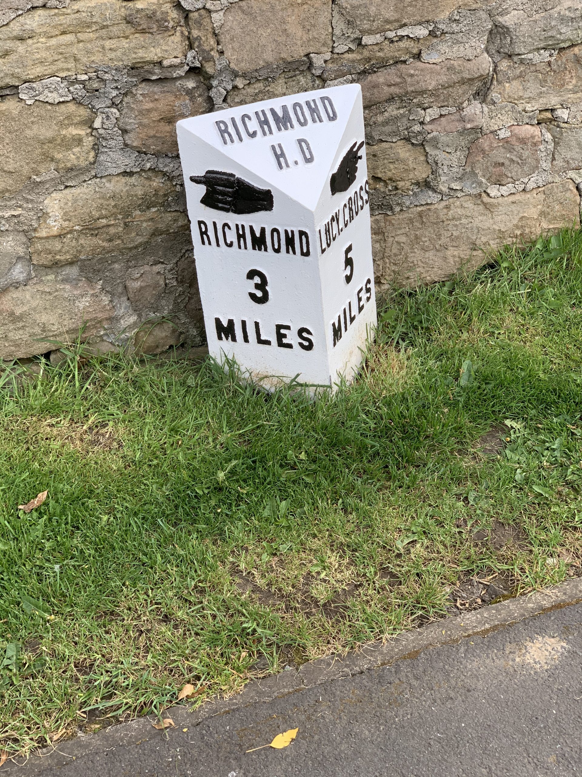
Start at the gravel triangle at the junction of Priest Gill Bank and Stoneygate Bank. You can leave your car here.
Walk along a single road (narrow) to Whashton. This is a very pretty village, quiet and well maintained 1.
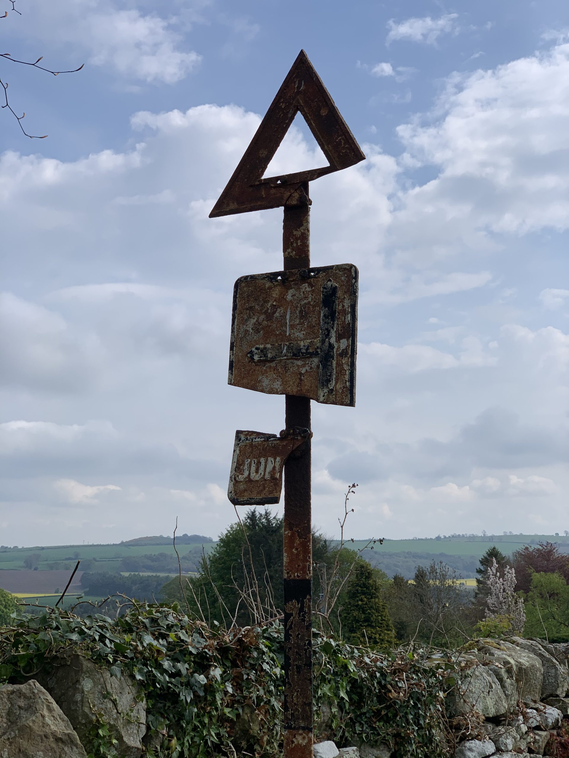
It’s so quiet that the traffic signs are crumbling into rust.
Travel on down the slope towards Whashton farm, walking on a metalled single track road.
Near the end of this road, you will see a bridleway sign. Turn east here and walk along a grassy bridleway towards a wall and wood.
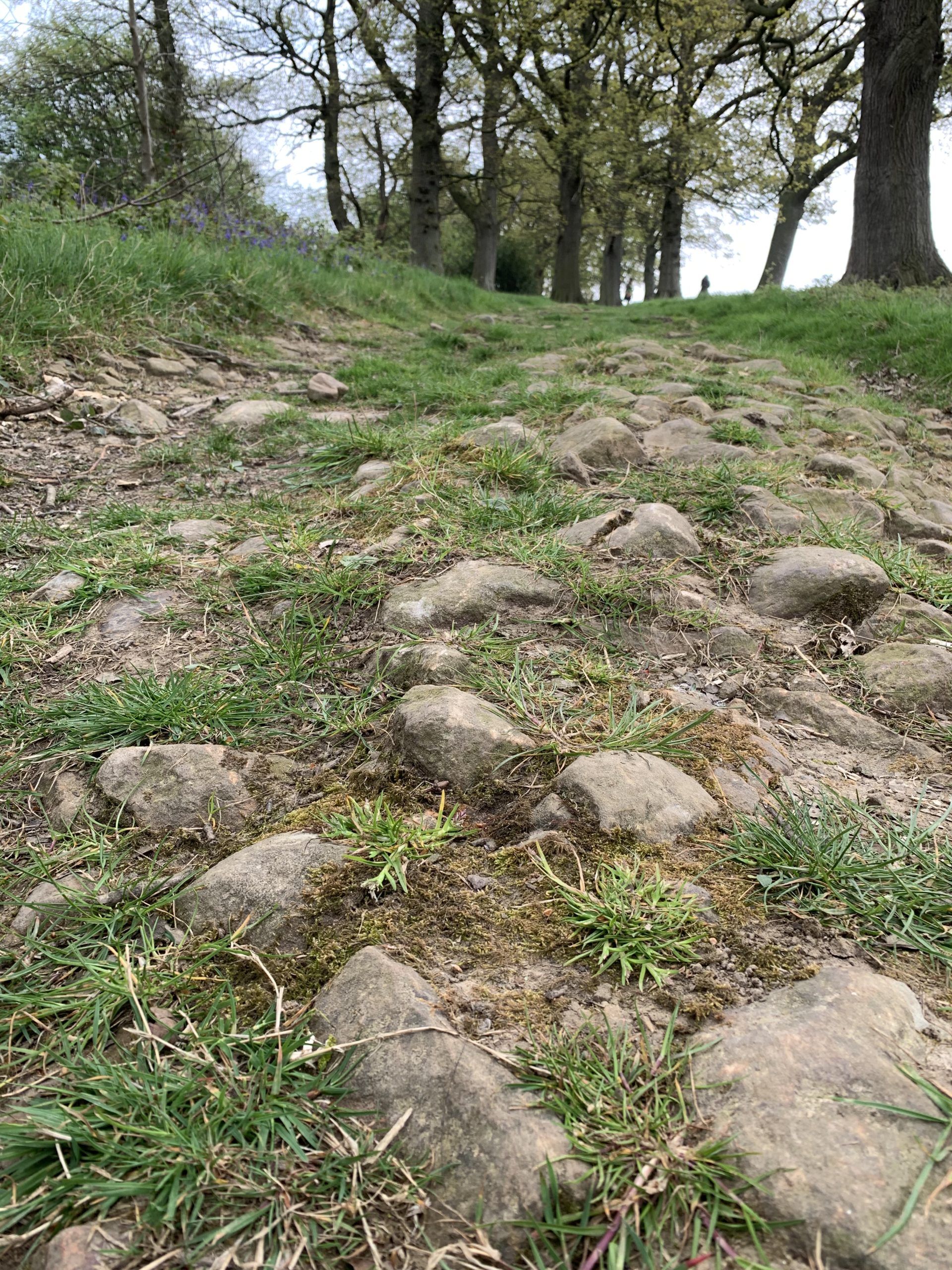
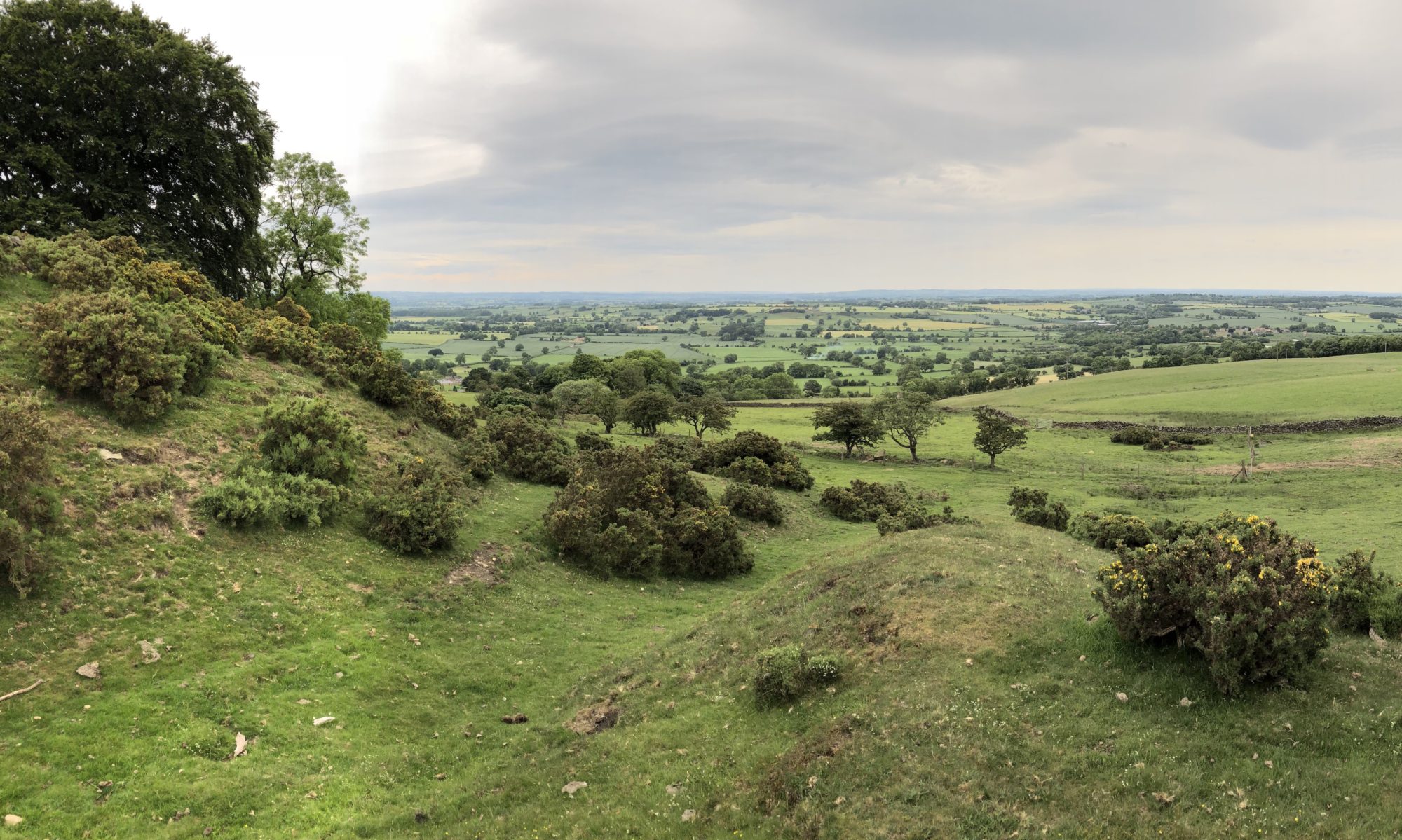
Climb a gentle slope up the old drove road and keep heading east. The views are to die for!
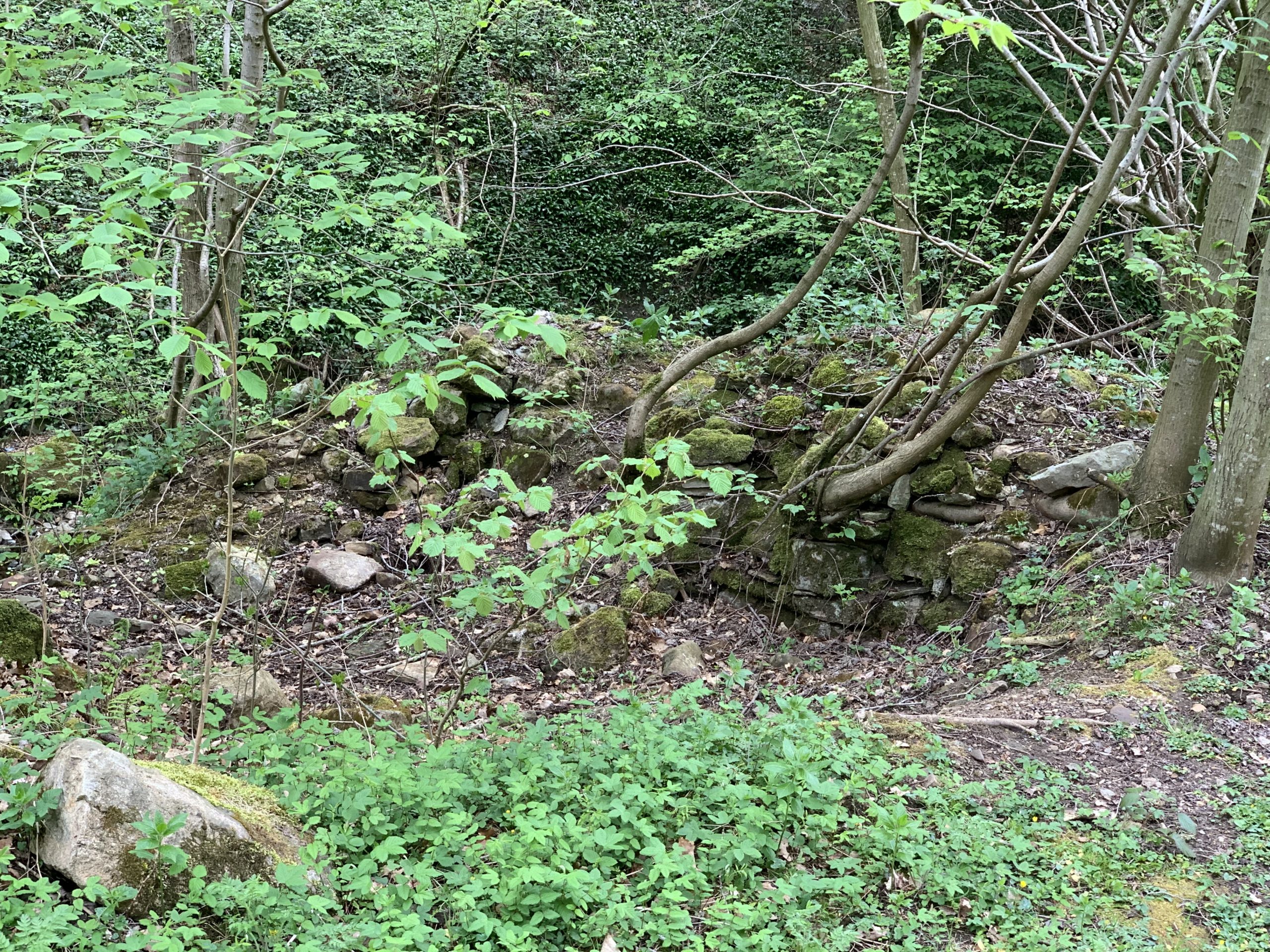
You will then descend a quite steep hill to cross the Smelt Mill beck – the ruins of an old lead smelting mill are to your left after you cross the beck on stones.

Walk up a gentle slope from the beck to see the open country beyond
The footing is good and the way easy to see. Continue along a farm track to the east with a dog leg bend and go past Crabtree House farm. Some lovely old buildings to admire.
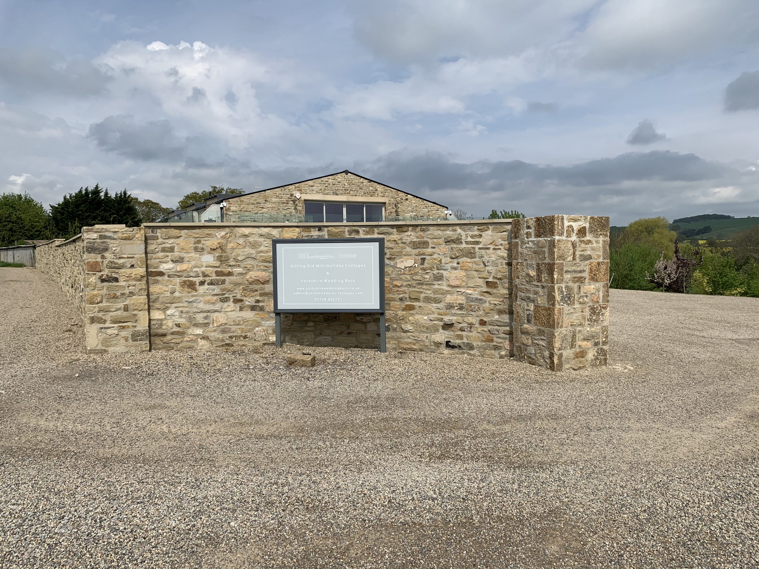
The way is even easier along a metalled single track road – past Gilling Old Mill holiday cottages and wedding venue, with superb views of the valley floor and a lake. 2
You can then bimble along a quiet road and arrive into Gilling West
Gilling West – a chance to sample a pint or two 3
Turn north, cross the road and walk on the footpath. Cross the road again and walk over the bridge footpath to the other side of Gilling beck. There is a small farm to your right, with rescue battery hens.
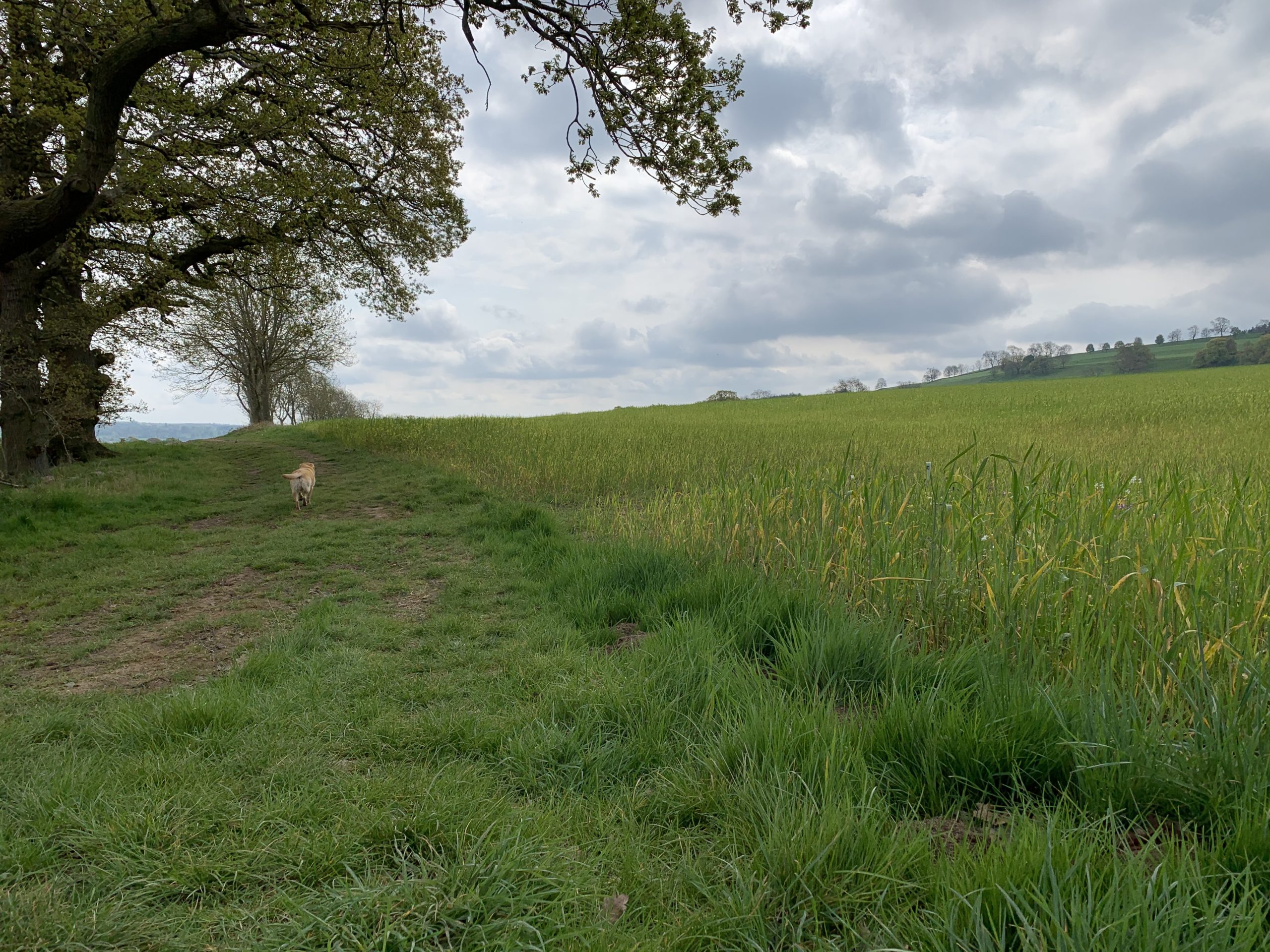
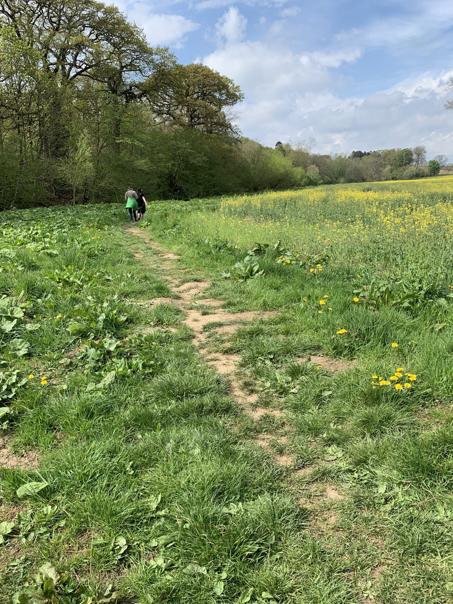
From here on, the walk is along arable fields with occasional paddocks of cattle or sheep. A very bucolic vista opens up in front of you. The route across the fields is easy and well marked as you travel to the north west.
Head past Hartforth and turn left at Home farm.
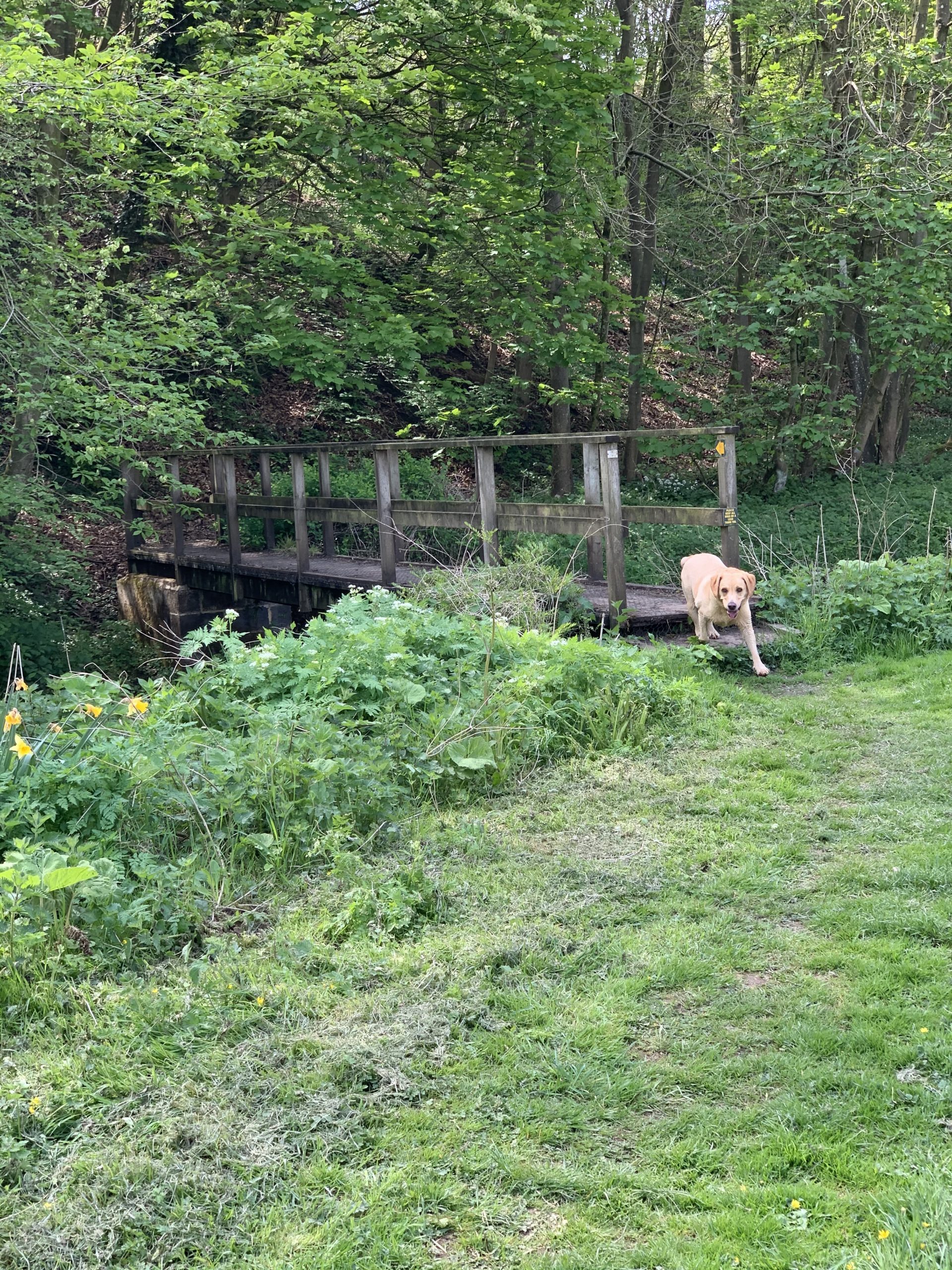
You will then cross the Hartforth Beck 4
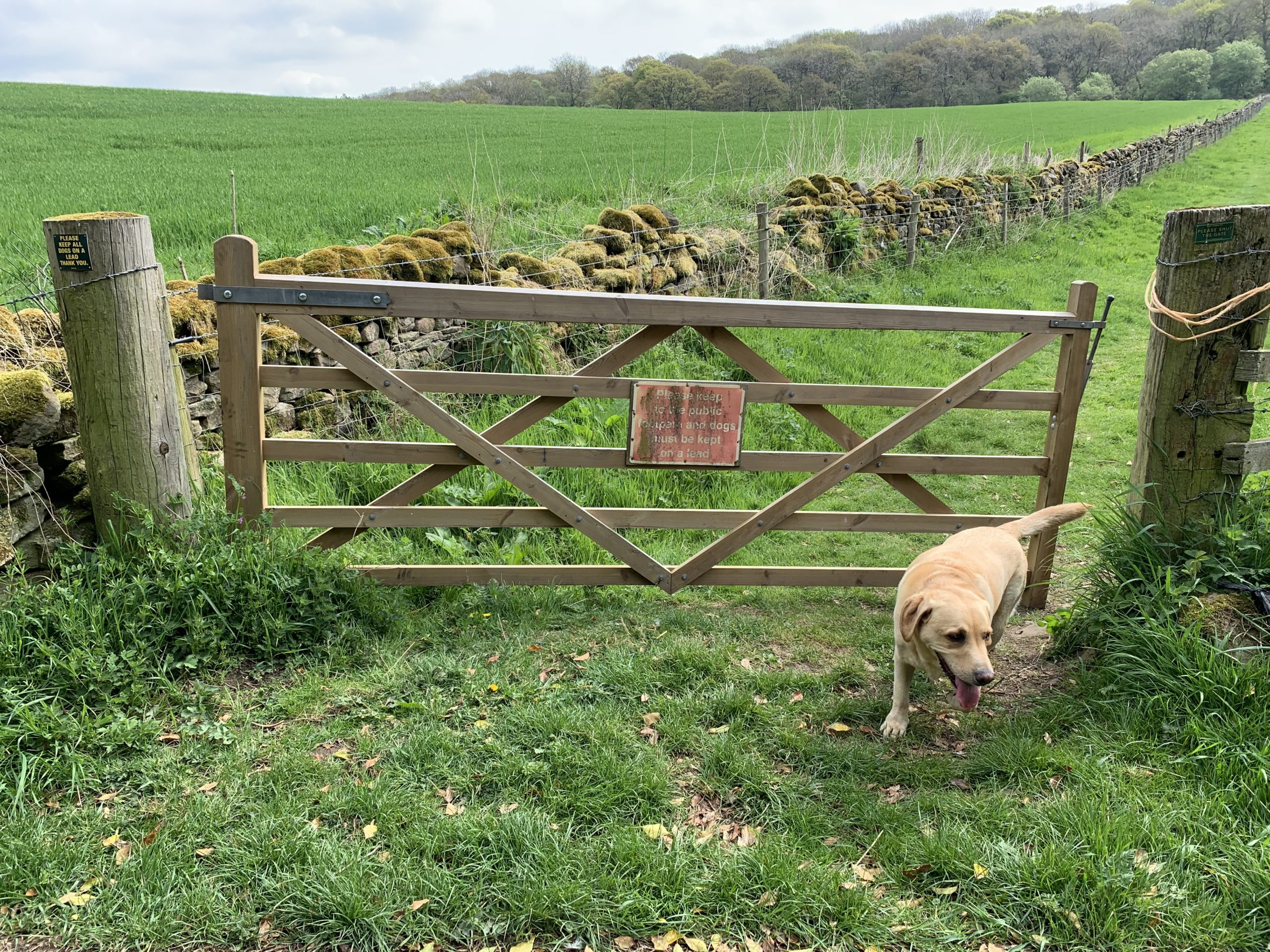
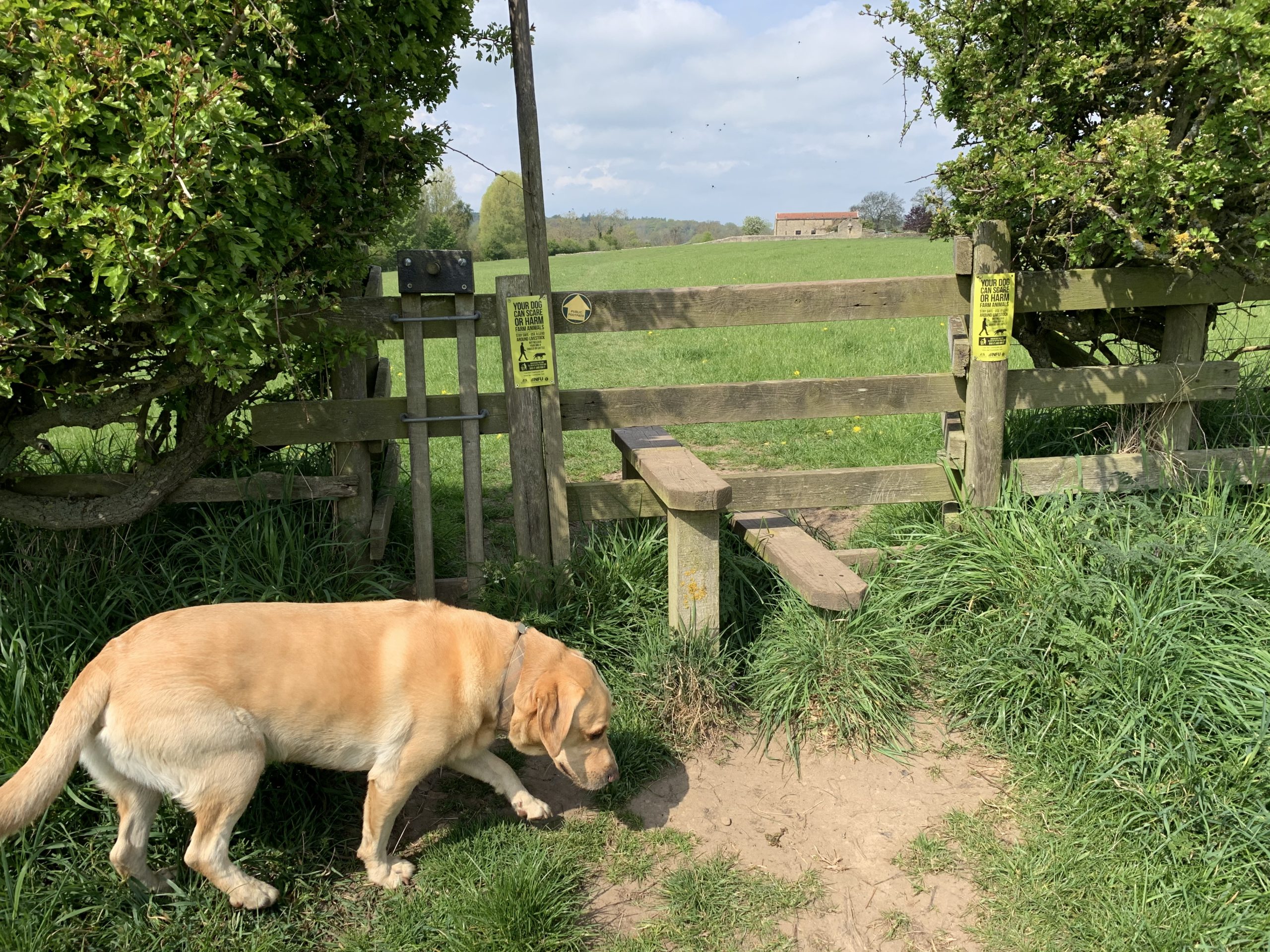
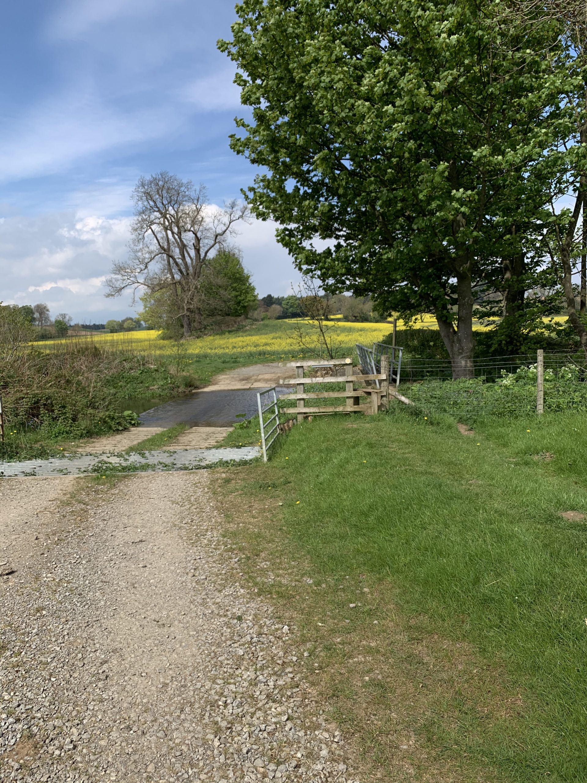
You will then enter pasture (so dog on lead). Keep to the path alongside the beck. The OS right of way goes diagonally across the pasture – through the congregating sheep (not really a good idea with a dog). The path by the beck leads to a footbridge and ford. Your dog can paddle across the ford and you can cross dryshod.
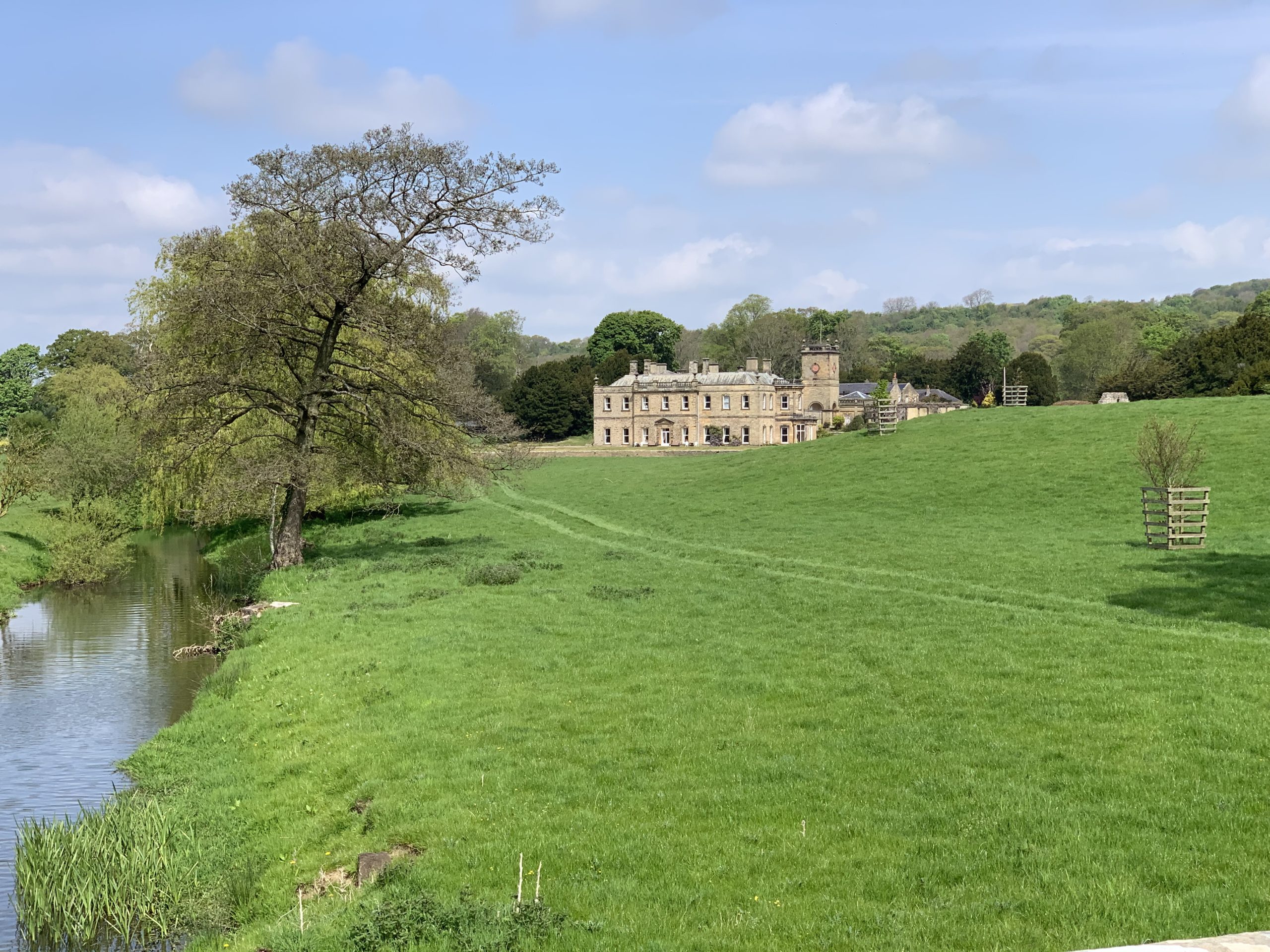
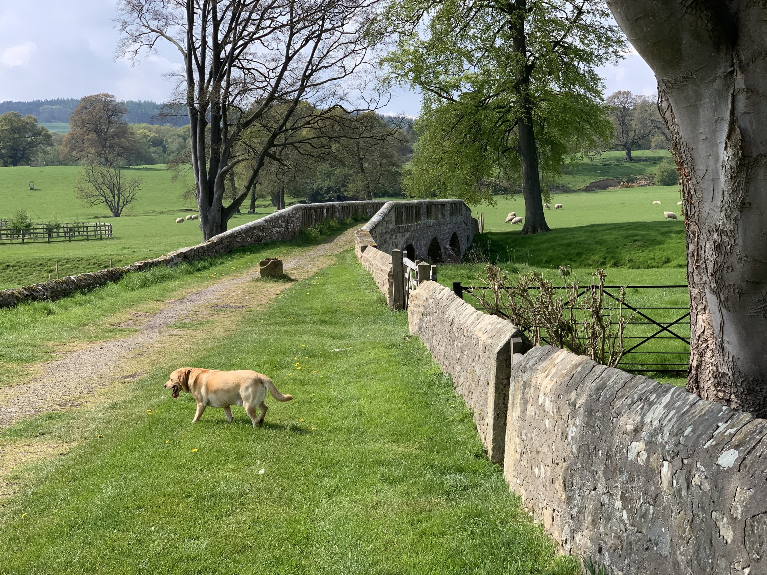
Take a moment to look back at the beautiful hall on the north side of the beck. 5
Then onwards, alongside fields to yet another crossing of the beck (this will be your last one)
The way is clearly marked – you will now travel with a wood on your left and the water on your right with a view of Hartforth Mill House with beautiful gardens on the other side.
The path is now narrow and meanders between the beck to your right and a stock fence on the left.

Turn left at Whashton bridge and head back to Whashton village up a steep road. Enter the village just by the post box set into a wall and turn right to retrace your steps back to your parked car.
A walk of 10k that just keeps giving. Every corner you turn reveals a different vista with all types of scenery From sculpted gardens to isolated hill tops
It really deserves the many times it has won the best kept village in Richmondshire↩
on the latest OS map, this site is given as Acre & Mill Farms↩
unfortunately, not for us in these Covid-19 times lockdown↩
is this the stream with the most names? – Dalton beck, Holme beck, Hartforth beck, Gilling beck … ↩
Birthplace of Admiral Sir Christopher Cradock killed at the Battle of Coronel in 1914↩