Welcome
This site is dedicated to the village of Gayles in Holmedale, North Yorkshire, UK
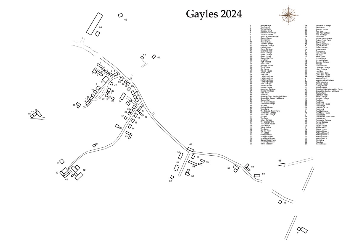 Please note that some house names are provisional. They will be updated when confirmed on the ground. The houses are depicted in approximate location, size and shape (outbuildings are not shown). Outlying houses are shown in a similar manner in which the Shetland Isles are depicted on a map of the British Isles.
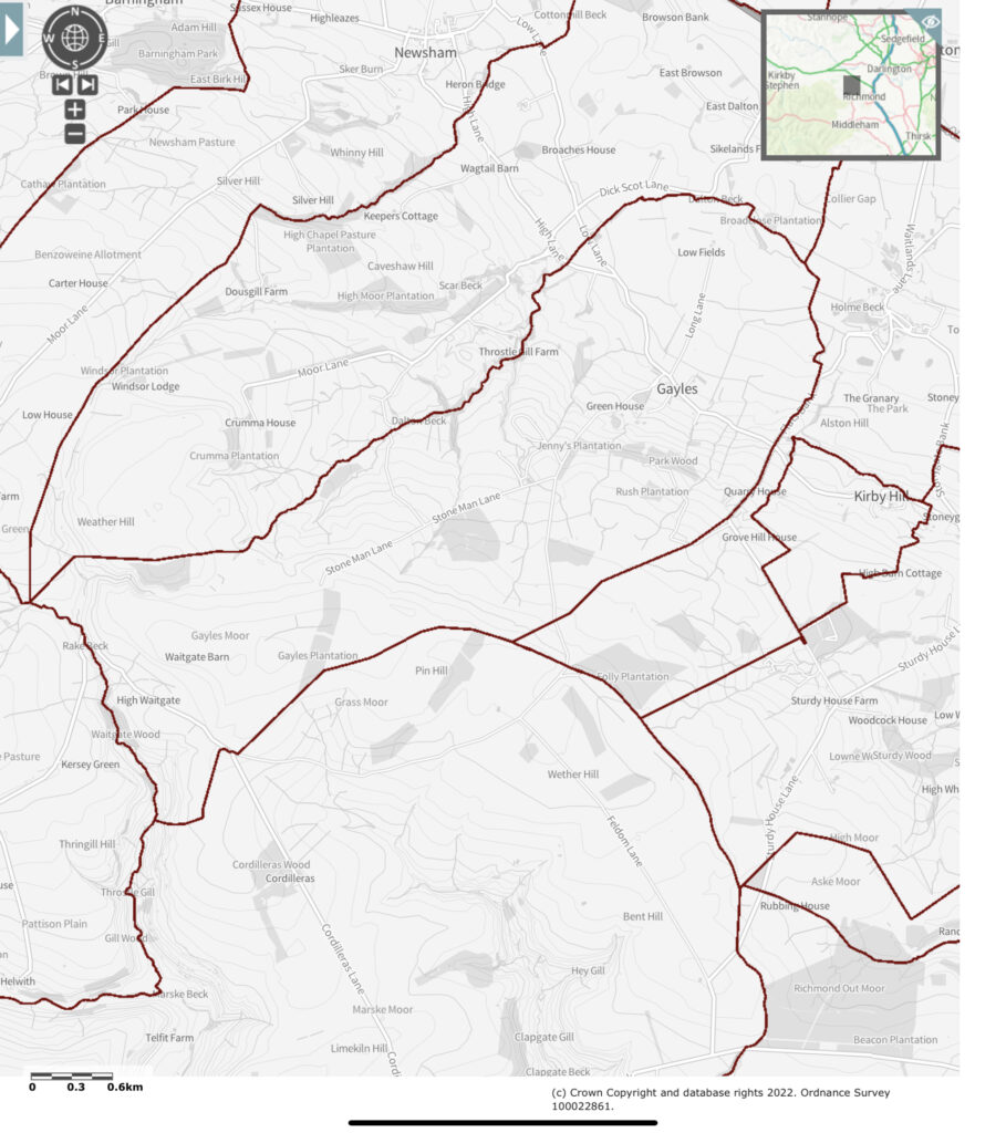
Gayles map of houses 2024-08-06 – pdf for download
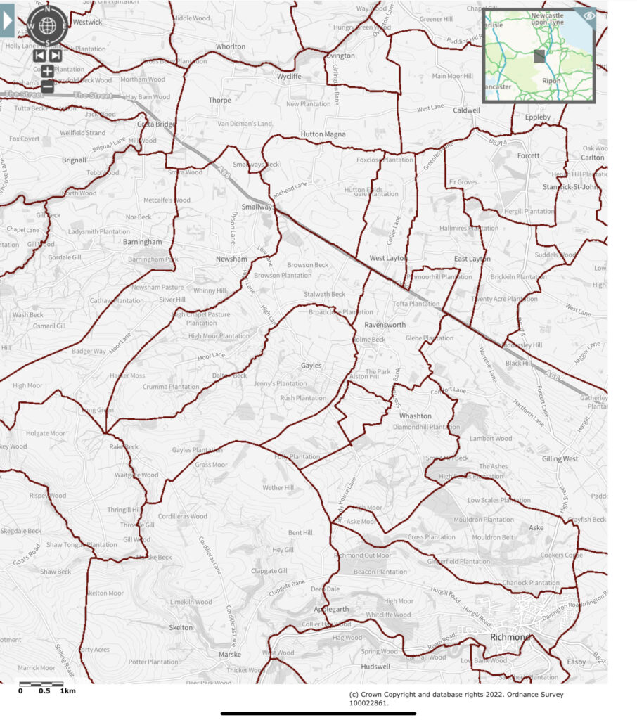
This diagrammatic map is a work in progress. It has been redrawn from the Colin Day map. New houses have been added, major discrepancies between the size of buildings on the diagram and the aerial map view have been corrected. Some houses have also been renamed to their current name. Fact-checking on the ground continues.
Please note that barns, outhouses, stables and greenhouses are not shown in this map. I’ve included a link to a pdf of this map for you to download
If you notice any inaccuracies, please let me know
10/03/2024
Latest update to the map has added in Slip Inn Bank and changes to some of the houses there (The Bhyres)
The new build in West Street has yet to have its permanent name confirmed
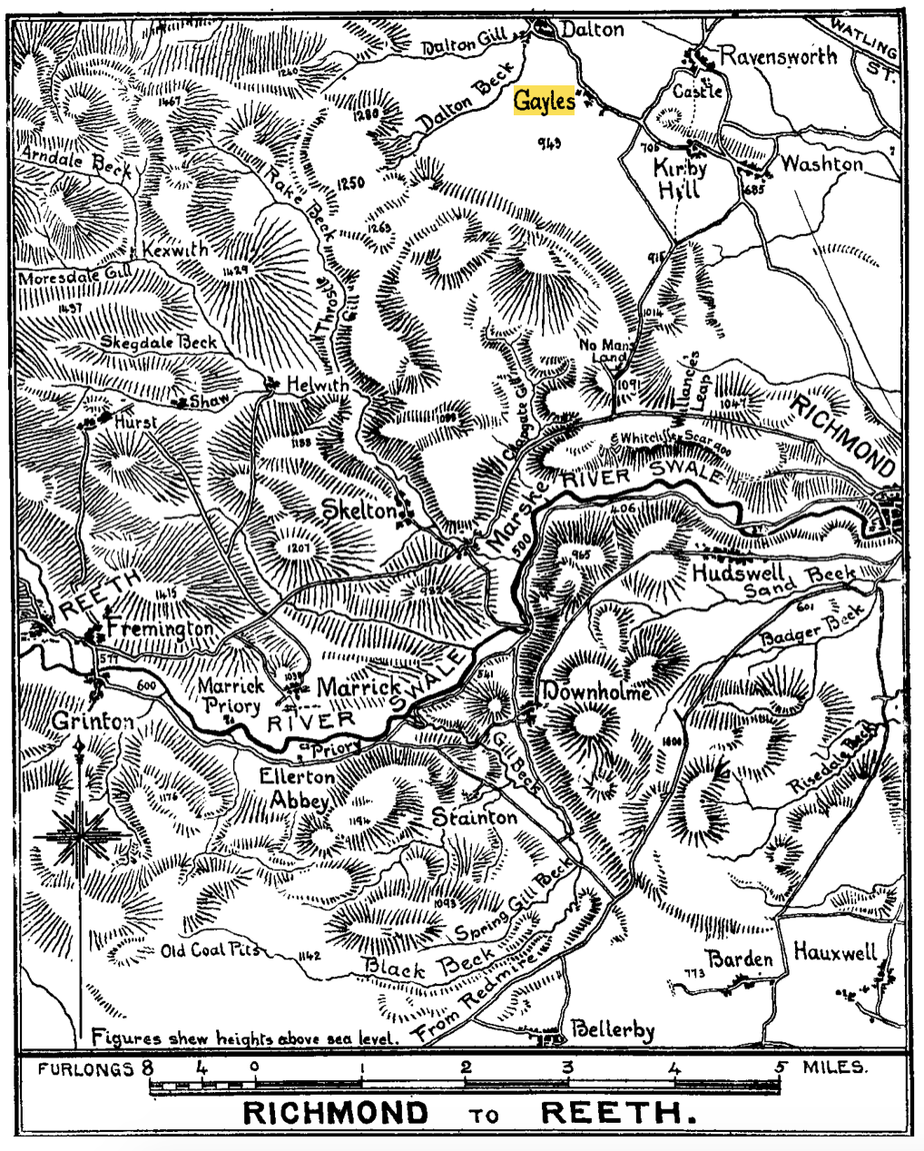
The following maps are for surrounding villages. They were last updated in 2012 – details on the website of the author (included in the map). They are presented ‘as is’
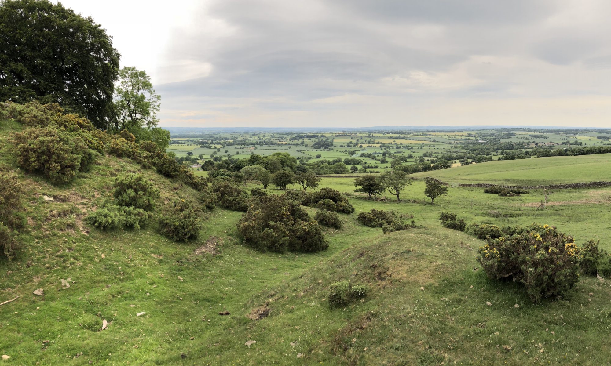
Visit Ravensworth website walks for some more ideas.